
An 11E sketch is the survey map that fixes a subdivided parcel’s exact boundary, and in Karnataka it is what decides, in law, where your land ends, not the seller’s word and not the fence on the ground. A plot like this is carved out of a larger survey number, and two boundary lines can look identical: the one drawn on the papers you are handed, and the one the land record actually recognises. When they do not match, the buyer is the one who finds out, usually after the money has moved. That gap is the whole reason this document matters, and it is why the version you are shown has to be a certified 11E sketch, and not a drawing that merely resembles one.
What is an 11E sketch and why does certification matter
An 11E sketch is a pre-mutation survey map issued by Karnataka’s Department of Survey, Settlement and Land Records, and it shows the exact boundaries and measurements of a subdivided portion of a survey number. This pre-mutation sketch is the step that comes before a change of ownership. Only a certified 11E sketch, surveyed by a government surveyor and approved by the department, is what a Sub-Registrar will accept to register a partial sale; an uncertified, privately drawn version has no legal standing. So the real question about any sketch you are shown is whether it is the certified record of that subdivided portion of a survey number, or only a private drawing of it.
What is an 11E sketch, and when do you actually need one
An 11E sketch is a survey sketch issued in Form 11E by the Department of Survey, Settlement and Land Records, and it maps the exact boundary of one subdivided portion of a larger survey number. You need it the moment a part of a survey number changes hands on its own: when a portion is sold, gifted, partitioned or otherwise transferred separately. That kind of transfer is a partial sale, and it counts as a sub-division of the survey number.
The precise statutory basis sits in the Karnataka land revenue rules. The working rule is easier to carry. A whole survey number sold as one unit does not need an 11E sketch. A slice of that survey number does, because the Sub-Registrar cannot enter the buyer’s name against a boundary that has never been surveyed, and mutation cannot follow.
So if you are buying anything smaller than a full survey number, the question of what is an 11E sketch and when do you need it is already answered for your deal: you need one. Why the simple act of splitting a survey number sets off this requirement is worth understanding, because it explains what the sketch is really recording.
Why does splitting a survey number trigger the 11E requirement
A survey number is the smallest unit the land record treats as one parcel, so until a subdivided piece is given its own surveyed boundary in an 11E sketch, the record has no way to say where that piece begins and ends. A survey number has one entry in the Record of Rights, the RTC, describing one whole parcel. Split it, and you have created a sub-division that no existing document describes.
This is why the Sub-Registrar requires the pre-mutation 11E sketch to register any partial sale of land within a survey number. The term pre-mutation carries the logic: the sketch comes before mutation. It defines the new boundary first, so the new owner’s name can then be entered against a boundary the record actually holds. Without it, there is nothing for mutation to attach to.
So splitting a survey number does more than shuffle paperwork; it creates a boundary that has to be surveyed into existence before the registry will move. Which raises the question the whole transaction turns on: is the sketch in front of you a certified one, or only something that looks like it?
Certified or uncertified: how do you tell them apart, and why does it decide everything
A certified 11E sketch is one surveyed by a government surveyor and approved by the Assistant Director of Land Records (ADLR), carrying the department’s seal, a sketch number and a date, and traceable in Mojini V3. An uncertified sketch, sometimes called a private surveyor sketch, is a drawing made without that departmental approval and without any entry in the land records. The two can look almost the same on paper. Only one of them is official, and only one protects you.
You can tell them apart with three checks:
- Approval. A certified 11E sketch shows the ADLR’s approval; a private sketch shows only the surveyor’s own signature.
- Markers. A certified one carries the department’s seal, a unique sketch number and an issue date; an uncertified one usually carries none of these.
- Traceability. A certified 11E sketch can be retrieved on Mojini V3 against the survey number; a private sketch exists only on the paper in your hand, because it was never entered in the record.
Why this decides everything comes down to what each version is worth. A certified 11E sketch is the version a Sub-Registrar will act on to register a partial sale. An uncertified sketch is visually similar and legally empty: it can be refused at registration, and it gives you nothing to stand on if a neighbour later disputes the line. A genuine, certified sketch is the one worth having, so the sensible next step is to know how the certified kind is actually produced.
How is a certified 11E sketch obtained, and who issues it
A certified 11E sketch is the output of a defined survey process, not a document you can simply print. It is applied for, field-surveyed by a government surveyor, approved by the ADLR, and then issued in Form 11E. If you are asking how to get an 11E sketch that will hold, the answer is in that sequence, not in the form alone.
In practice the path runs like this. The landowner applies, either online through Mojini V3 or at the Taluk survey office, submitting the RTC (the Record of Rights), the title deed or mother deed, and identity proof. A government surveyor from the Department of Survey, Settlement and Land Records then visits the land and conducts a field survey, fixing the boundary of the portion being separated. The Assistant Director of Land Records reviews and approves that survey. Only after that approval is the sketch issued in Form 11E. In many taluks the mutation that follows is handled through the Tahsildar’s office, which is why the RTC and title chain need to be clean before the sketch is even sought.
The step that matters most to a buyer is the ADLR approval, because that is the moment certification is conferred. A seller who can show that the survey was done by a government surveyor and approved at that level is showing you a sketch that will hold. Once you have been handed a sketch, the next task is to confirm for yourself that it is genuine.
How do you check an 11E sketch and confirm it is genuine
You verify an 11E sketch on Mojini, against the survey number the seller gave you. A genuine sketch is retrievable there, matches the survey and sub-division numbers on the RTC, and carries the department’s approval, seal and date. If the seller’s paper cannot be found in the record, that alone is a reason to stop.
Here is the check, in order:
- Go to Mojini V3 at bhoomojini.karnataka.gov.in and use the view option for the survey number the seller has quoted.
- Confirm the sketch on the portal matches the copy you were handed: the same survey number, the same sub-division number, the same shape.
- Cross-check those numbers against the RTC. The survey and sub-division numbers on the sketch should be the numbers on the Record of Rights for the parcel.
- Look for the certification markers on the retrieved record: the department’s approval, its seal, the sketch number and the date.
- Note that Mojini also holds related records such as the phodi sketch and the alienation sketch, so make sure the document you are checking is the 11E for your specific portion, not a different sketch for the same survey number.
That is how you check an 11E sketch status, view it online, and check the survey sketch against the seller’s copy rather than take any of it on trust. The record, though, is only half of it. A sketch that is genuine on the portal still has to match the land you can walk, which is the next thing to test.
How do you match the sketch to the ground before you buy
The sketch is only proof of the boundary on paper, until you walk the parcel on site and confirm the corners, dimensions and adjoining survey numbers on the ground match the boundaries and measurements drawn on the sketch. Most buyers never do this. It is the single check that reconciles paper with ground, and it is where a fabricated or careless sketch shows itself.
Walk the parcel on site with the sketch in hand and verify, point by point:
- Every corner point on the sketch exists on the ground, and the fence or bund actually sits on it.
- The length of each side of the parcel matches the dimension printed on the sketch.
- The total extent matches. Karnataka measures land in acres and guntas, where 1 acre is 40 guntas, so a sketch that states a certain number of guntas should measure that on the ground.
- The adjoining survey numbers named on the sketch are the parcels you can see next to you, on each side.
Any gap here is a signal to stop. If the measured extent does not match the sketch extent, or a fence line does not sit on a corner point, treat it as a stop-the-deal signal and commission a fresh survey by a government surveyor before you go further. A boundary that is right on paper and wrong on the ground is still a physical boundary you will have to live with, or litigate over.
What happens when the paper itself is faked is the harder problem, and it is where boundary disputes, and the state’s recent tightening, come in.
How do fabricated 11E sketches start boundary disputes, and what changed with the crackdown
A fabricated 11E sketch is a private or forged drawing passed off as a certified one, or a genuine sketch reused to slice a parcel below the legal limit. Either way, it registers a boundary the survey record does not support, and that is where the expensive disputes begin. When the line on the paper was never surveyed into the record, a neighbour, a co-owner or the state can later contest it, and the buyer who trusted the sketch is the one left defending a boundary that has no official backing.
Sub-division and boundary disputes are among the commonest and most expensive land problems, precisely because a fake or reused sketch can look convincing at the point of sale and only unravel later.
According to reporting on the issue, the state has been tightening its stance on fabricated-11E subdivisions. Owners had been obtaining or reusing 11E sketches to subdivide and sell very small parcels as plots, bypassing layout and conversion approval. In response, the Karnataka land survey and revenue authorities are reported to have directed Deputy Commissioners to reject DC conversion of agricultural plots of 5 guntas or smaller, and to initiate suo-moto cancellation of fraudulently obtained 11E sketches, the sketches that only the Department of Survey, Settlement and Land Records is meant to certify.
The takeaway for a buyer does not depend on the exact circular. A sketch used to carve a plot below the legal size, or a sketch that cannot be traced in the record, is exactly the kind the state is now moving to cancel. Which is why the sketch should never travel alone: you hand your advocate the whole pack, not just the sketch.
What should you hand your advocate
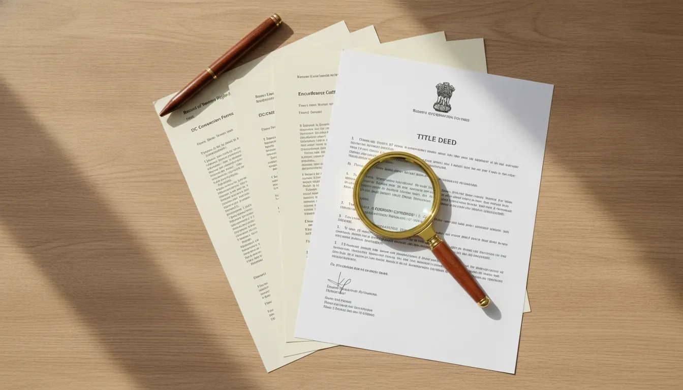
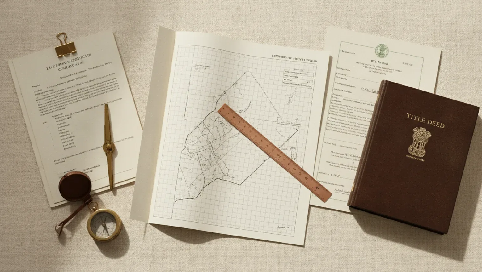
Your advocate is the person whose job is to find the problem before you pay, and that person needs the certified 11E sketch read alongside the rest of the chain: the RTC, the mother deed, a current Encumbrance Certificate, the Khata, the DC conversion order and a PTCL check. No single document clears a title on its own. The pack does, when the pieces agree with each other.
Here is what belongs in that document pack, and what each part verifies:
- The certified 11E sketch fixes the boundary of your subdivided portion.
- The RTC, also called the Pahani, shows the current record of rights, tenancy and crops for the parcel.
- The mother deed traces how ownership reached the present seller.
- A clear Encumbrance Certificate (EC) shows the parcel is free of loans or charges over the period checked.
- The Khata, ideally an A-Khata, shows the property is on the municipal or panchayat record for tax and is eligible for clean transfer.
- The DC conversion order shows agricultural land has been lawfully converted for the use you intend.
- A PTCL check confirms the land is not granted land barred from sale under the PTCL rules.
The 11E sketch fixes where the land is. The others fix who owns it, whether it is encumbered, and whether it may lawfully be used as planned. A Buyer’s Advocate reads them together, because a clean boundary on a parcel with a clouded title is no safer than a clouded boundary on a clean one. When you can hand your advocate all of it at once, the review is quick and the answer comes early.